

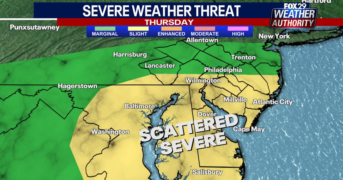
PHILADELPHIA – Heavy downpours and the possibility of severe thunderstorms will impact the Philadelphia area on Thursday, just days after intense flash flooding overwhelmed local roadways and residential areas.
What we know:
The National Weather Service has issued a flood watch for Philadelphia and surrounding suburbs lasting from noon to midnight.
Forecasters say urbanized areas and places with poor drainage are at the greatest risk for flooding, along with areas still waterlogged from flash flooding earlier this week.
Showers and thunderstorms, fueled by increased heat and humidity, will develop during the afternoon and evening. The greatest threat of flooding rain, along with damaging winds and severe thunderstorms will be between 1 p.m. and 9 p.m.
Most of the Philadelphia area, including South Jersey and Delaware, is at a marginal risk for flash flooding on Thursday.
What’s next:
Another round of storms could develop on Friday, as temperatures reach 90 degrees in Philadelphia.
The unsettled weather pattern will level off on Saturday, with temperatures in the 80s and partly sunny skies.
Ditto for Sunday when skies will clear and temperatures will sit in the 80s to wrap up the weekend.
WeatherPhiladelphiaNews